For the week ending March 29th….
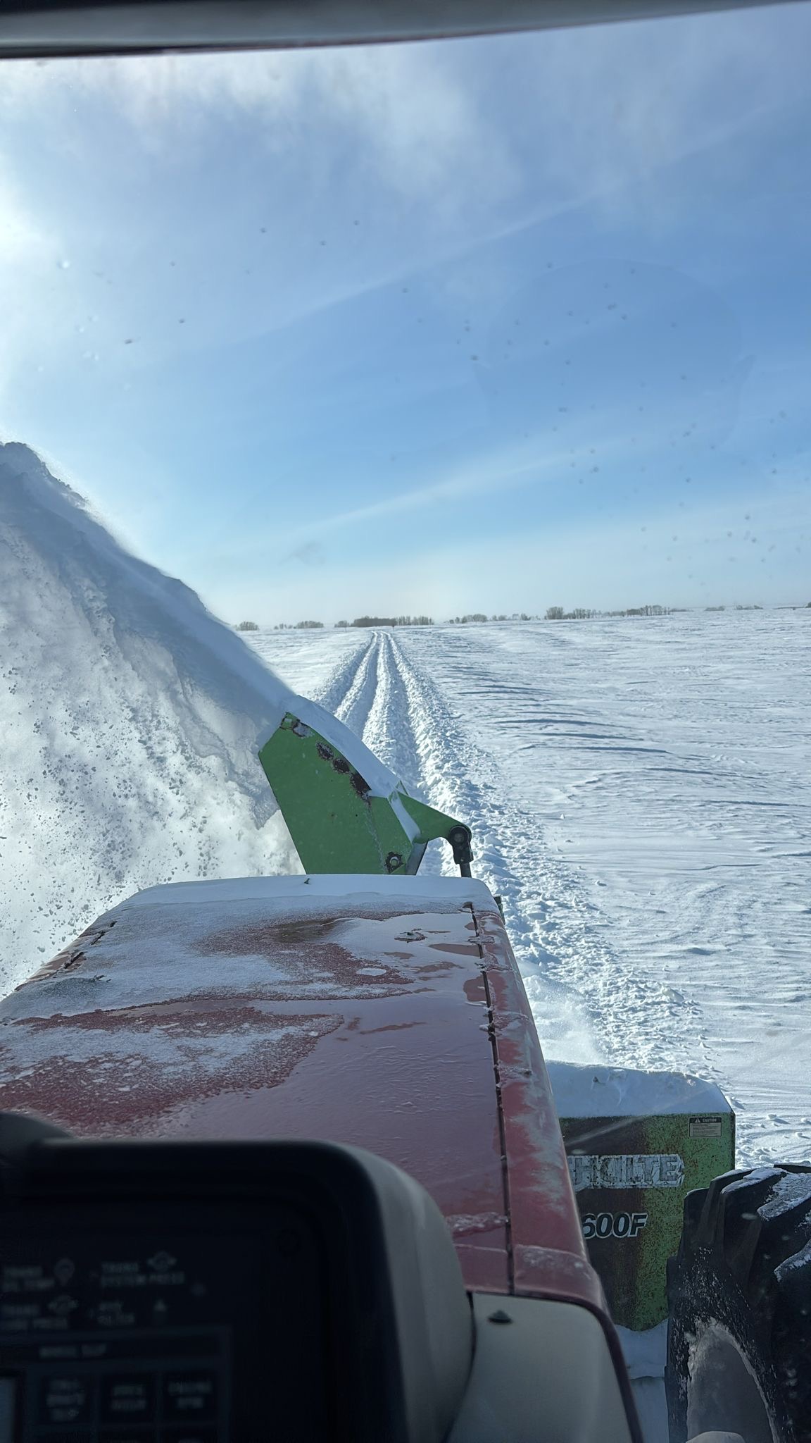
Since the last update, we have dodged a few major snow storms. Last week the forecast was predicting another dump of snow of 20-30cm – which ended up falling apart – and we escaped with only a few inches of snow. The forecast for this upcoming week was calling for two more storms – of up to 20cm of snow on Monday and similar for Thursday, but latest update shows that these storms may be weakening or changing course. We are thankful that we are missing these storms, as we have a large snowpack that is going to have to melt before spring.
Weather forecasts these last few weeks is showing us that the upcoming season might be harder to get an accurate forecast. We have moved from our weather being influenced by a succession of La Nina events these past few years, to this year being predicted to be an El Nino event. What does that mean? The last few years have not been the typical weather we see with La Nina events, so it is uncertain what a swing to an El Nino could mean for us.
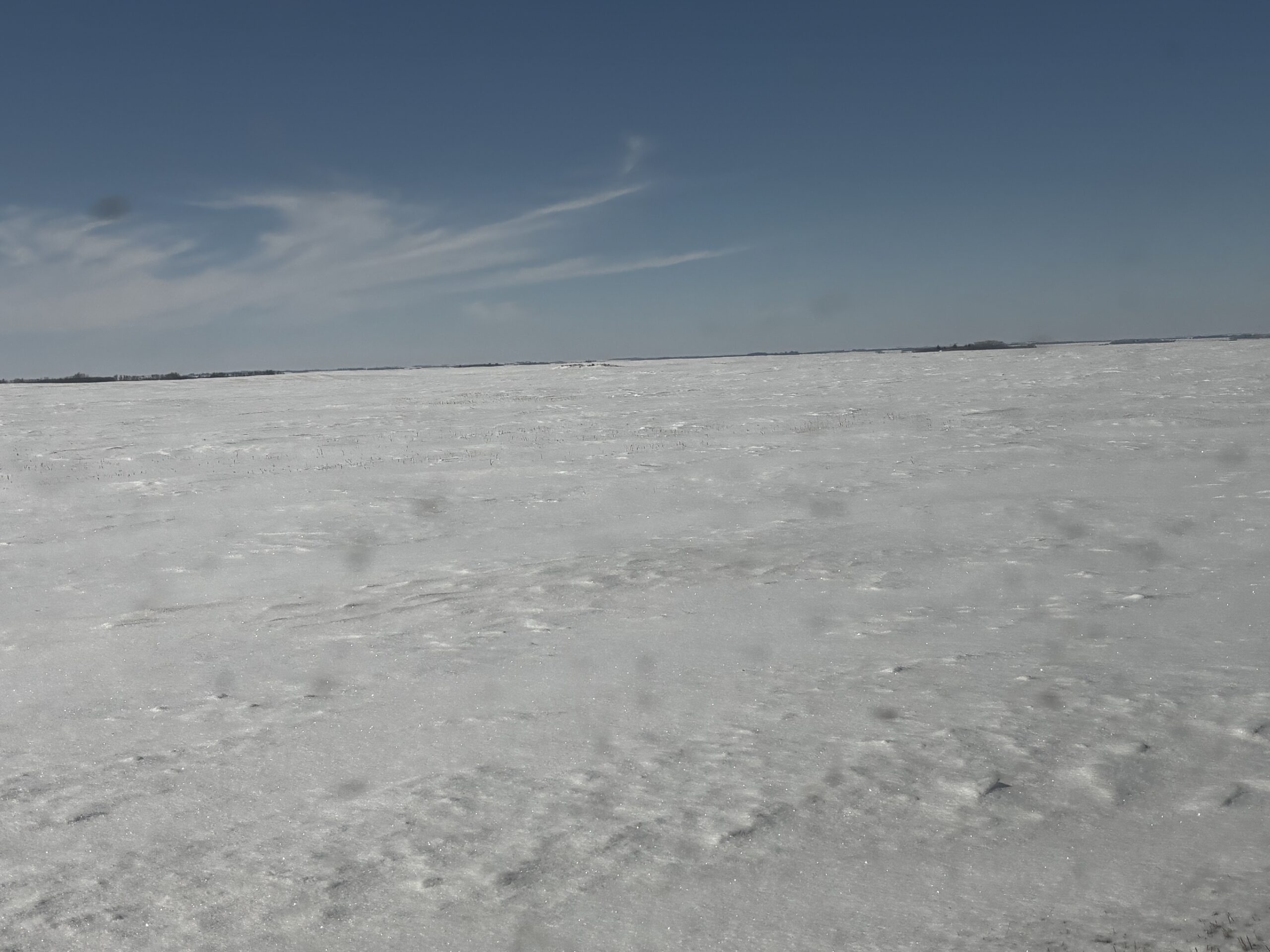
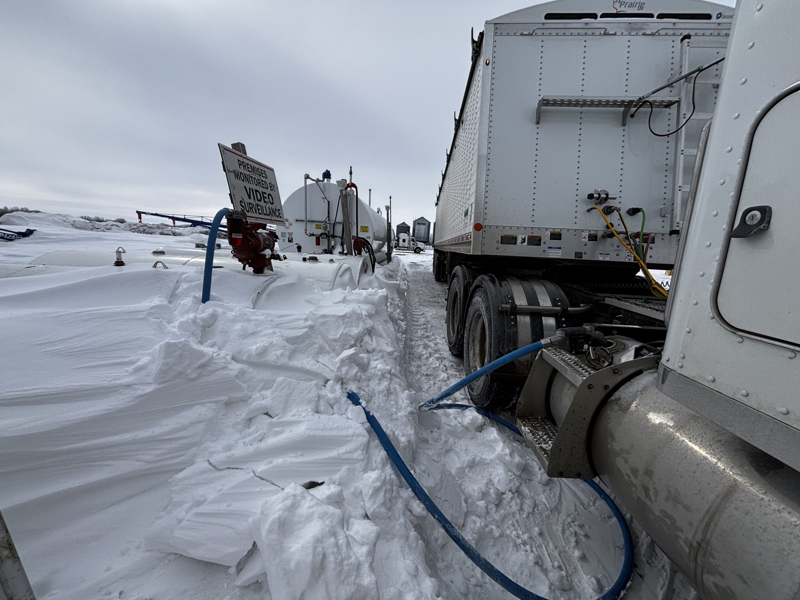
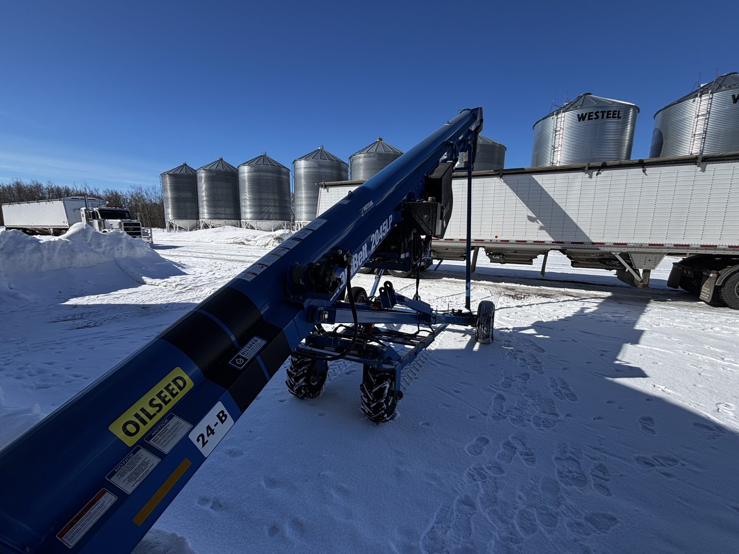
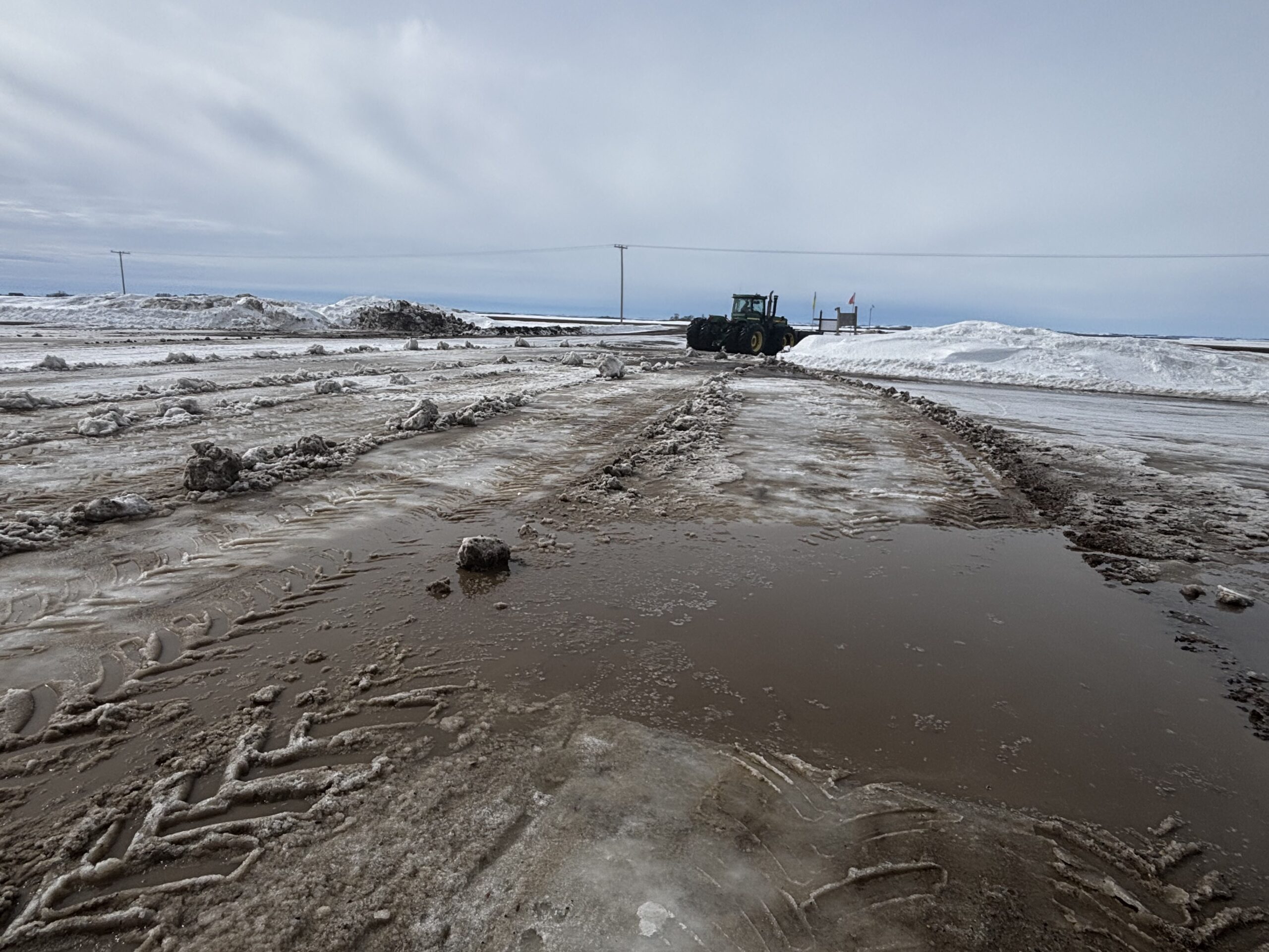
The current depth of snow at this time of year is getting to be a little concerning. In our region, when the snow melts, the water has defined channels that is runs off. A slow melt is preferred – it gives it a chance to soak into the soil, and more importantly it runs off in a safe and orderly fashion. If we get a flash melt – or worse yet, rain event while snowpack is still in place – it can cause flooding, erosion, and damage to roads. Water runs, and the culverts that are in place under roads and railways are only able to handle a certain volume of water. Snow melting too fast creates a much higher volume of water that current infrastructure can struggle with. There is still time for a slow melt to occur – but we will need Mother Nature to cooperate!
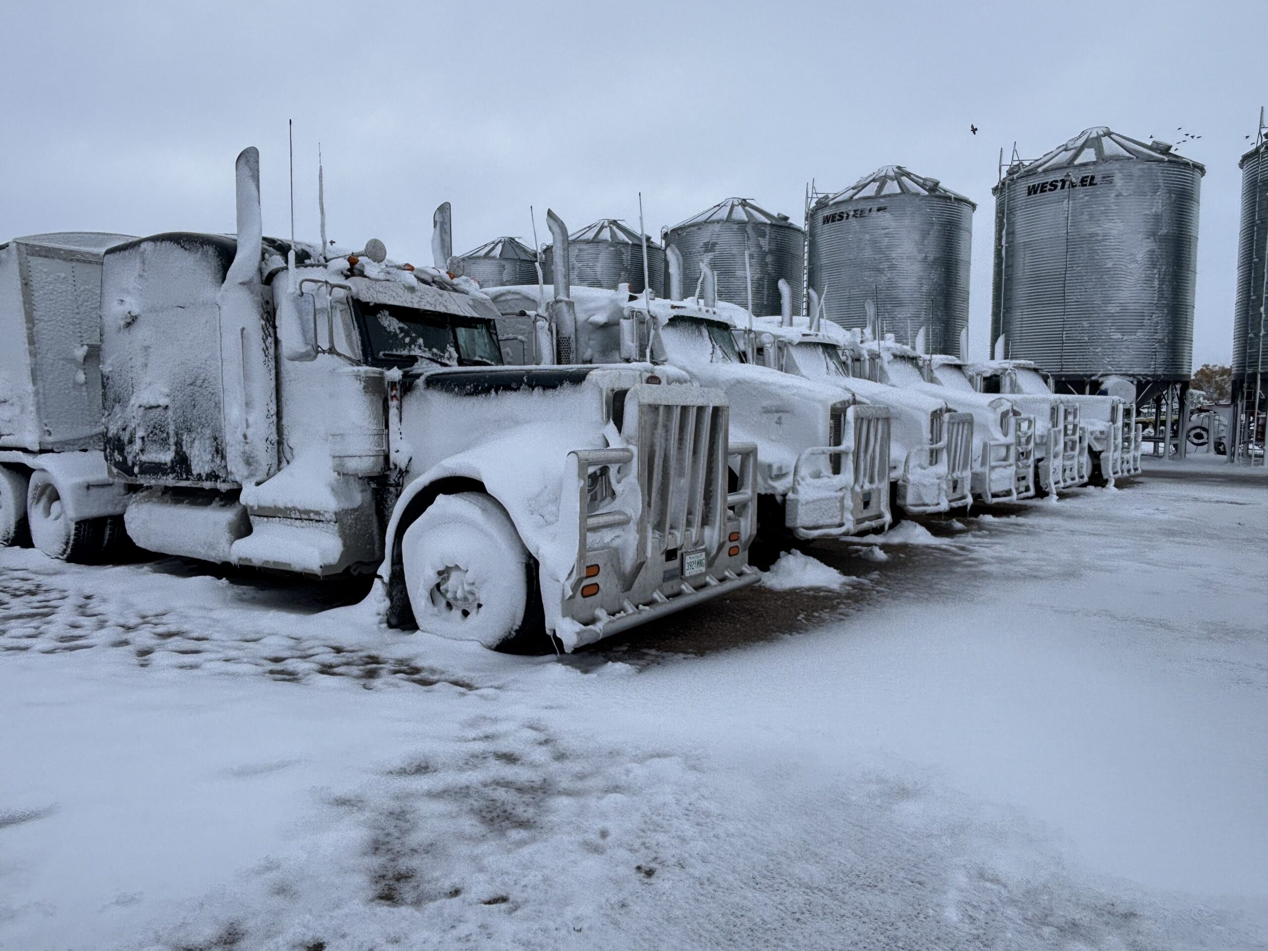
We had a few days of melting a week and a half ago…but it has been much colder than normal this past week, with overnight lows below -20C. This next week is calling for a few more days of colder than average, with melting occurring by the end of the week.
